Governor's Harbour Eleuthera BS
Where it is, and daily life nearby
Straight-line distances measured from OpenStreetMap — not drive times. OSM's coverage of shops and clinics here is uneven: "not mapped" means nobody has mapped one, not that none exists. Shops, schools and clinics are being measured for this area next. See the Eleuthera area guide.
Hurricanes, earthquakes and elevation
| Hurricanes whose centre passed within 50 km, since 1980 | 7 |
| Strongest of them | Andrew, 1992 · Category 5 · 24 km away |
| Most recent | Sandy, 2012 · Category 1 · 8 km away |
| Tropical storms or stronger, same window | 8 |
| Earthquakes of magnitude 5+ within 100 km, since 1973 | 0 |
| Ground height at this location | 34 m above sea level |
History, not a forecast. These are counts of what has happened near this location, not the chance of it happening again or of how a particular building would fare. See hurricanes and insurance. Sources: NOAA IBTrACS v04r01, fetched 2026-11-05; USGS earthquake catalogue, fetched 2026-11-05; elevation from Copernicus DEM GLO-30 (© DLR e.V. 2010-2014 and © Airbus Defence and Space GmbH 2014-2018, provided under COPERNICUS by the European Union and ESA).
What the seller says
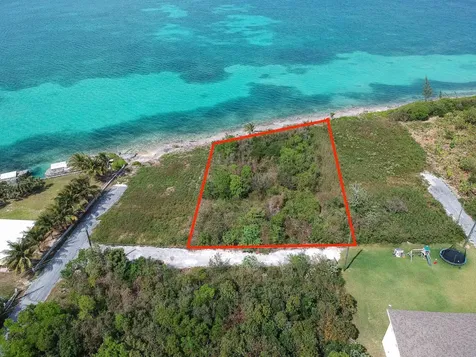
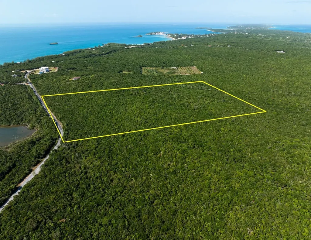
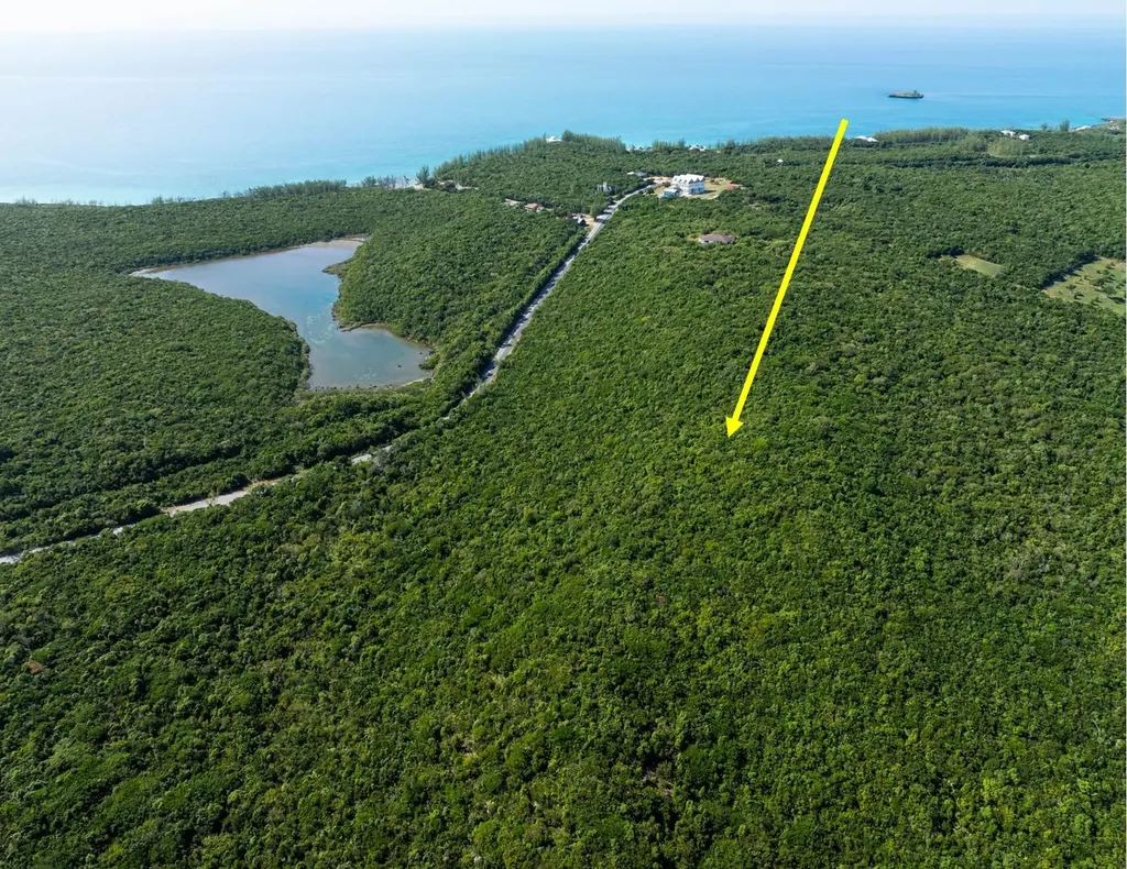
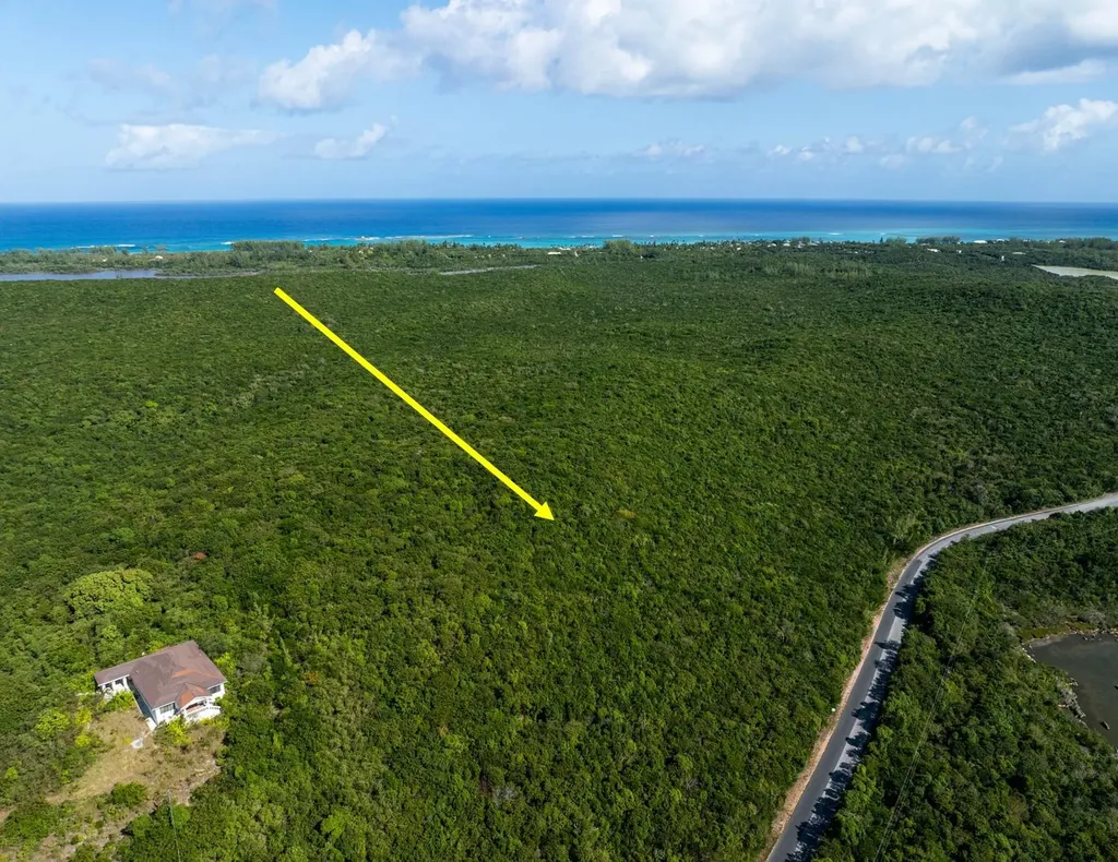
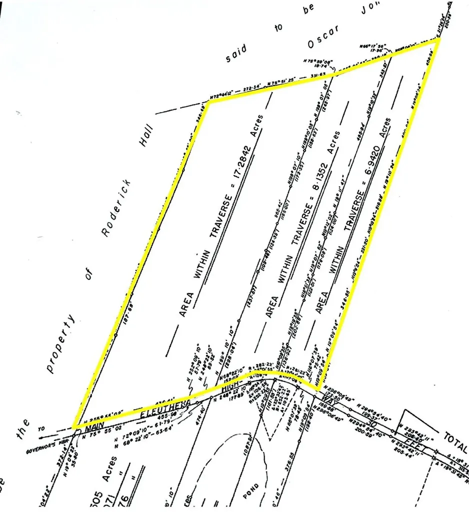
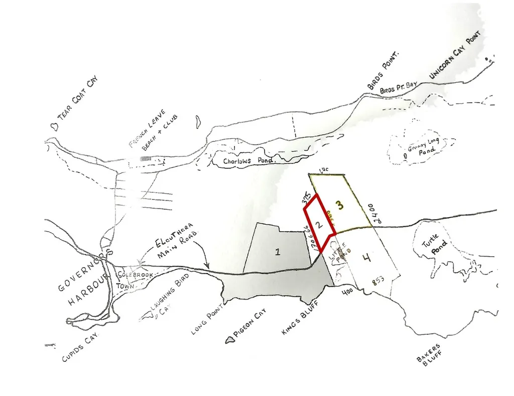
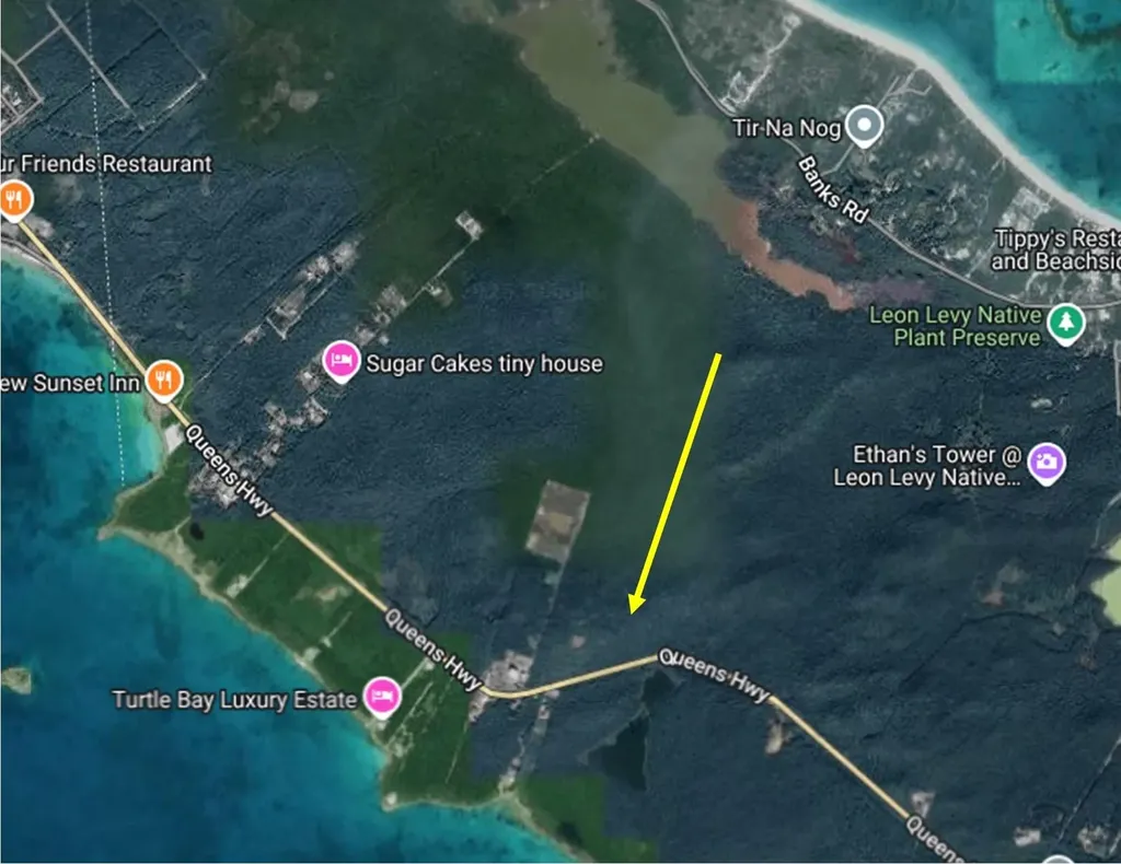
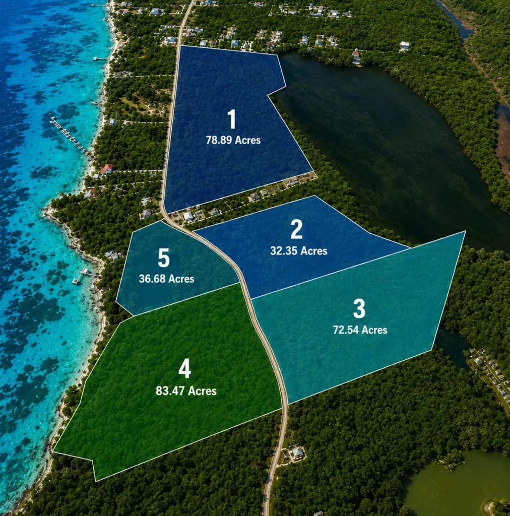
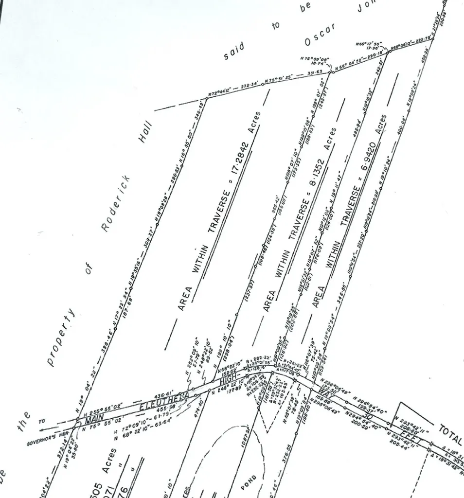
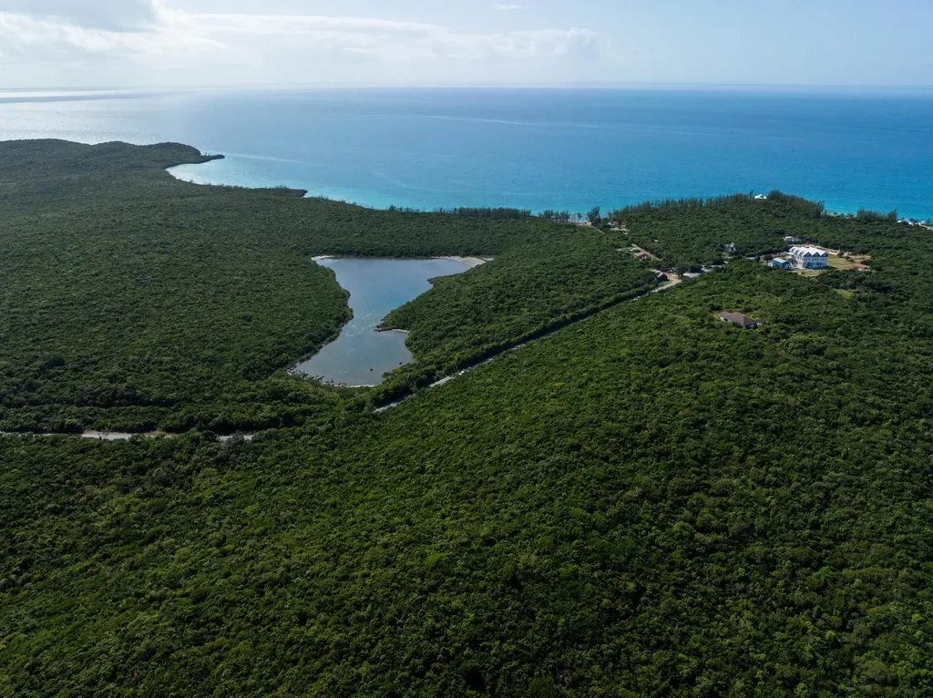
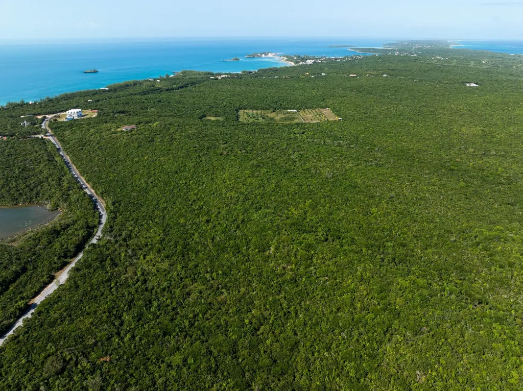
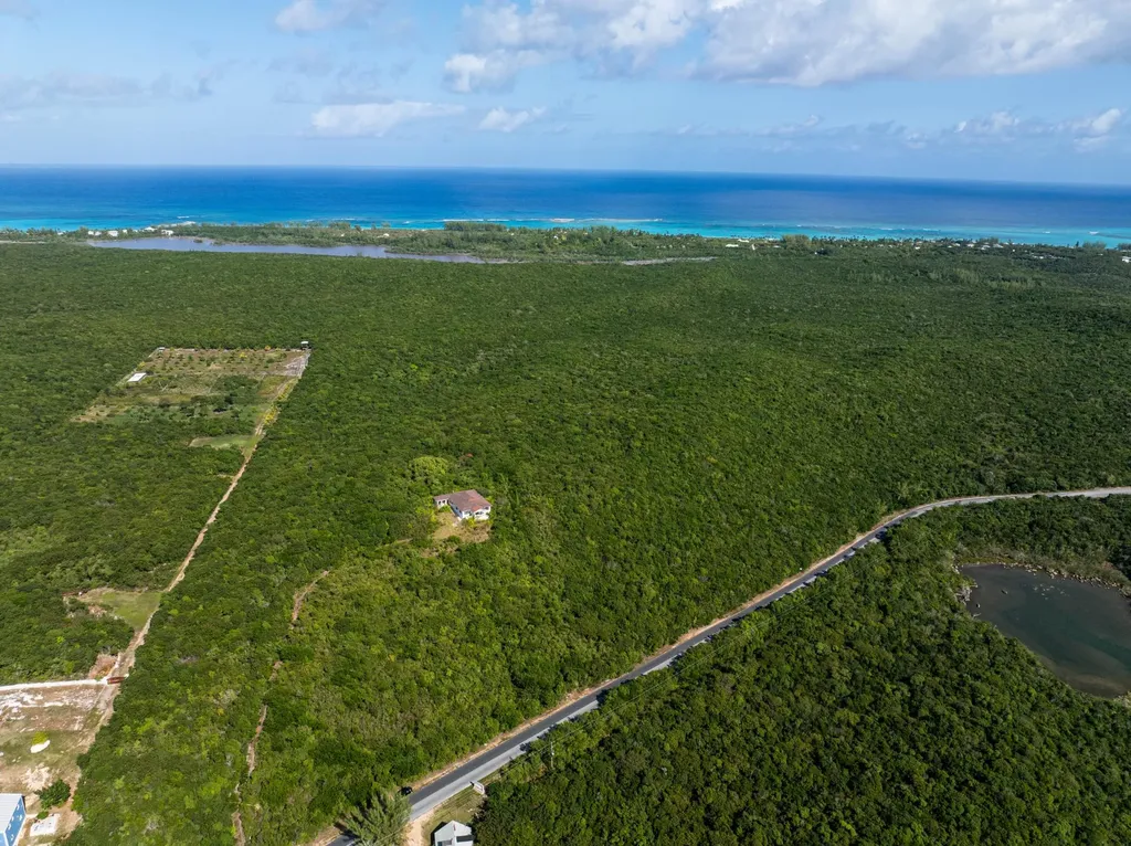
Situated one mile south of Governors Harbour on the east side of the Kings Highway this 32.35 tract has elevations up to 100 feet. Property is ideally situated for land development with spectacular sea views and elevations. All utilities are on the Highway. There is an adjacent 72.54 acre tract to the south for sale. Eleuthera is situated approximately 50 miles east of Nassau at its nearest point.
It was settled in 1648 by the Eleutheran Adventurers - a band of English Puritans who left Bermuda in search of religious freedom. They named the island Eleuthera, which means Freedom Eleftheria in Greek. The Adventurers founded what was probably the first democracy in the western world. Eleuthera is over 100 miles long and has lots of gorgeous pink and white sandy beaches, mainly on the ocean east side of the island.
Numerous settlements dot the island and two offshore islands -Spanish Wells and Harbour Island - lie off the northern end. Governors Harbour is considered the middle of the island and has the largest population. It houses the government administrative centre.
The listing's own copy from bahamasrealty, with agent contact details and boilerplate removed. Not our description and not verified by us.
Similar with different trade-offs